|
The short answer...yes. Researchers found that storms, on average, became shorter but more intense between 1960 and 2017.
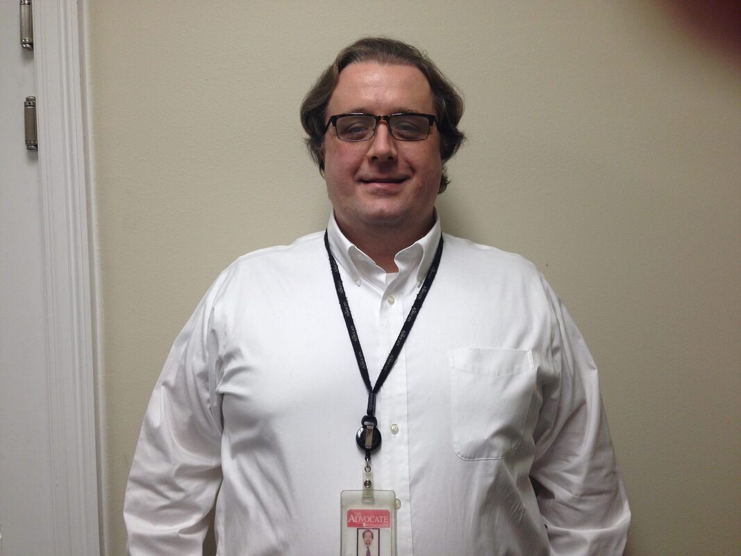
 In May, a storm dumped 13 inches of rain in six to eight hours on parts of East Baton Rouge, Ascension and Iberville Parishes. It overwhelmed drainage systems and flooded neighborhoods — some of which had avoided inundation in the historic 2016 storm. Two years ago, five inches of rain fell in seven hours in New Orleans, outpacing pumps, swamping streets, stranding cars, and flooding some homes. These storms struck with little warning and gave residents no time to prepare. They weren't named hurricanes or tropical storms, just random thunderstorms that dropped a huge amount of water over a short time. New research suggests that kind of weather is becoming more common. Two LSU researchers, and a third from Southern Illinois University at Edwardsville, have combed through rainfall data from across the Southeast United States, including Louisiana. They found that storms, on average, became shorter but more intense between 1960 and 2017. In most places the researchers studied, the number of extreme rain events didn't increase — but it did across much of Louisiana. And those most extreme storms also dropped more rain than in the past. However, the overall amount of rain that fell each year didn't significantly increase. What changed is how fast it fell, which means individual locations got more water, more quickly. Louisiana State Climatologist Barry Keim, one of the authors, said the research presents "huge" implications for local cities and towns. Keim noted that urban drainage systems, like New Orleans' pump stations, are often built around a 24-hour estimate of rainfall. In the Baton Rouge region, ditches, culverts, detention ponds and pumps have been built to standards tied to certain daily rainfall assumptions. "So, while the rain (total) is not changing, the characteristics of the rain is changing such that it's making it more difficult to pump the water out of these places because it's coming in shorter bursts," he said. In New Orleans, storms like those have prompted questions about the adequacy of the Crescent City's century-old pumps, which have also suffered major breakdowns in some rain events, though not the May 2019 storm. In the Baton Rouge area, these storms have spurred residents to urge elected officials to limit or even halt new development. Some parishes have put building moratoriums in place while they tighten their rules on new construction. Some local governments are also planning to buy land to create drainage and retention areas, in hopes of limiting flash flooding. Keim, fellow LSU researcher Vincent "Vinny" Brown and others recently received a National Oceanic and Atmospheric Administration grant to help the New Orleans Sewerage and Water Board better understand how changing rainfall patterns are affecting that city's drainage system and vulnerable populations. For a local sense of changing rainfall intensity, Brown crunched some additional numbers and found the Baton Rouge Metropolitan Airport has seen average hourly rainfall intensity increase by 11.4% between the years 1960 and 2020. The average hourly rainfall in Baton Rouge has risen from an estimated 0.1255 inches per hour in 1960 to 0.1398 inches per hour in 2020. It's a small increase, but a statistically significant one based on the research, Brown said. Further supporting the idea that rain has become more intense, the annual number of hours that any rain was measured at the Baton Rouge airport has not changed in a statistically significant way since 1960. To reach the conclusions laid out in three papers published between 2018 and 2020, Brown performed statistical analyses on hourly rainfall totals from the Baton Rouge airport weather station and 49 others across 11 southeastern states between 1960 to 2017. Researchers usually look at daily rainfall totals because hourly totals require more intense data work. So this study provided a deeper-than-usual analysis of how rain falls over time. There were variations across the studied area in the Southeast. But, in all, the rainfall analyses found 44% of the 50 rainfall collection stations across the Southeast saw an increase in average hourly rainfall intensity between 1960 and 2017 while 82% saw the average rainfall duration drop over the same period. The Louisiana rainfall stations in Baton Rouge, New Orleans and Shreveport all saw statistically significant hourly rainfall intensity increases and rainfall duration decreases during the 58-year-period examined. The fourth Louisiana station examined, in Lake Charles, did also see a drop in rainfall duration, but its increase in rainfall intensity wasn't big enough to be statistically significant. Climate science has long predicted that global warming would lead to more intense weather events. A world with warmer oceans and skies laden with more moisture better fuels more extreme storms. Brown and Keim said the study's design doesn't allow them to pin the changes in Louisiana conclusively on man-made climate change. "So, it's very, very difficult to attribute something like one rainfall gauge down the street to global changes in the climate, very difficult to do that," Brown said. But they said the findings do align well with what other climate science has predicted. Kevin Trenberth, a leading climate researcher and a distinguished scholar at the National Center of Atmospheric Research in Boulder, Colorado, believes there is likely a climate change connection in the studies' findings. In an email, Trenberth, who wasn't involved in Brown and Keim's work, also noted the impact rising global temperatures have had on how much moisture the atmosphere holds — 4% more for each degree increase in Fahrenheit, or roughly 5% to 10% more moisture since 1970. But he added that the time period in the studies, since 1960, "is relatively short for trend analysis given all the weather noise that occurs." He particularly noted the effect of the El Niño pattern, a warming of Pacific Ocean waters that leads to wetter weather in the Southeast. He suggested analyzing that effect would "better sort out the climate change component." Keim, one of the LSU researchers, said he's not convinced filtering out the effects of El Niño would change the findings much because El Niño is "generally considered to be pretty random in occurrence." Keim and Brown said they do plan more research that will cull additional rain data. They expect it will better fill in the gaps between the 50 rainfall collection stations they have examined so far. About the Author
0 Comments
Leave a Reply. |
Archives
July 2024
Categories
All
|

 RSS Feed
|
|
If you want to be a frontline soldier on environmental protection, social justice, or environmental racism, come to Louisiana” –Gary Groesch, Founder of AAE
|
View our events calendar for important upcoming community events and public meetings!
|
|
Copyright © 2022 · Alliance for Affordable Energy